
Topographical Surveys
Igne’s topographical surveys deliver precise site data for planning, design, and construction using the latest GPS, total station, and UAV technology.
Mapping surveys capture the full picture of your site: its terrain, physical features, utilities, structures and constraints. And we turn this information into precise, usable digital datasets.
What are Mapping Surveys?
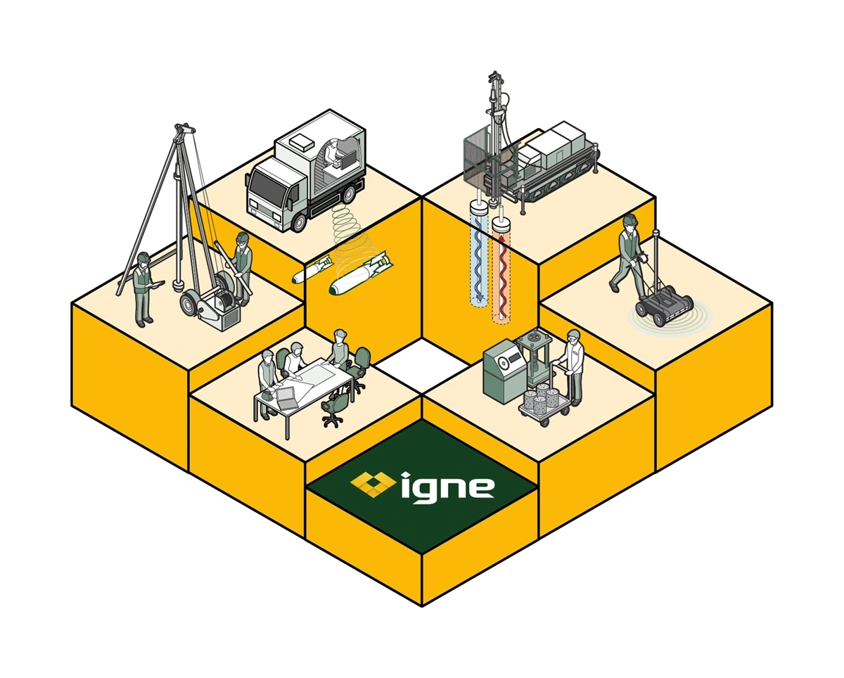
Where individual survey types offer specific layers of insight such as ground levels, buried utilities or aerial imaging - mapping surveys bring these layers together. The result is a unified, high accuracy understanding of a site, delivered by a single provider with the capability to integrate land surveying, UAV mapping, utility detection and geophysical investigation.
A mapping survey is a comprehensive record of the existing conditions across a site. It captures the shape of the land, the position of structures, the location of features and assets, and any physical elements that may influence a project. This may include buildings, roads, boundaries, vegetation, utilities, drainage, access routes, obstructions and natural features, as well as detailed elevation and contour information.
Unlike a topographical survey, which focuses mainly on ground levels and surface characteristics, a mapping survey has a broader scope. It often incorporates multiple data sources:
Once combined, these datasets form a complete, reliable model of the site that designers and engineers can trust.
Useage
A clear understanding of the existing environment reduces uncertainty and prevents avoidable risks. Mapping surveys allow teams to identify constraints early, understand spatial relationships, check for potential clashes and ensure all stakeholders work from the same information.
This level of detail plays a key role in feasibility studies, planning applications, design development, utility coordination, drainage modelling and environmental assessments.
For construction and engineering teams, mapping surveys support safe logistics planning, accurate earthworks design, effective sequencing and successful coordination between disciplines.
For asset owners and operators, they provide a dependable record of infrastructure and site layout that can be used throughout the lifecycle of an asset.
By working from a single, unified dataset, clients avoid the delays, redesigns and additional costs that result from incomplete or conflicting information.
INCLUDING
Igne’s mapping surveys typically begin with a detailed scoping exercise to understand the objectives of the project. From there, our survey teams collect high-precision positional data using a combination of total stations, GNSS equipment, laser scanning, UAV platforms and remote sensing methods.
Every site is different, so the method chosen always reflects the accuracy requirements, the scale of the site, access constraints and the types of features that need to be captured.
Once data is collected, our GIS, CAD and 3D modelling specialists process, align and verify the information. This may involve producing a 3D terrain model, mapping building outlines, capturing road geometry, recording drainage elements or identifying vegetation and structures.
Where relevant, we integrate underground utility data, topographical information or aerial imagery to create a single, coordinated output. The result is a clean, accurate and consistent dataset ready for use in engineering design, planning submissions or long-term asset monitoring.
DIFFERENCES
Mapping surveys sit at the intersection of many related survey disciplines. Topographical surveys provide key elevation data but do not always cover the broader range of features and attributes a mapping survey includes. Utility surveys identify buried services, while UAV surveys capture high-resolution aerial imagery and large-scale surface detail.
Geophysical surveys explore subsurface anomalies and structures, and geotechnical investigations analyse the engineering behaviour of soils and rock.
A mapping survey draws these strands together. It allows clients to understand not just one aspect of a site, but the complete spatial context, giving them a connected, holistic view that is far more valuable than isolated datasets. This integrated approach is one of Igne’s strengths, supported by a team that spans surveying, geophysics and ground investigation.
Process
Our delivery process begins with a clear understanding of the site and the project requirements. Once the scope is agreed, our surveyors mobilise to carry out field data collection using the most appropriate combination of land surveying instruments, UAV platforms, GNSS equipment and remote sensing tools.
Safety, accuracy and efficiency guide every stage of the process.
After data capture, the information is brought together, assessed, and modelled by our digital production team. They convert raw measurements into drawings, 3D models, GIS layers or BIM-ready datasets, depending on what the project demands.
Every output is thoroughly checked before delivery to ensure it meets the specification and integrates smoothly with the client’s workflows and design software.
Clients choose us for mapping surveys because we provide a genuinely integrated service.
We combine traditional surveying with UAV imaging, utility detection, geophysical mapping and ground investigation capability, meaning we deliver a complete dataset without the need for multiple subcontractors or uncoordinated information.
This improves accuracy, reduces duplication, shortens project timescales and provides designers and engineers with a single source of truth they can rely on.
Our teams work across the UK, supporting major infrastructure schemes, commercial developments, utilities, renewables, environmental projects and public-sector clients.
Whatever the scale of the site or the complexity of the brief, we provide the clarity needed to make informed decisions quickly and confidently.
Learn More
A mapping survey provides a detailed record of the current conditions across a site, including ground levels, structures, utilities, features and constraints. Its purpose is to give project teams a complete understanding of the site before design, planning or construction begins, reducing uncertainty and preventing errors.
A topographical survey focuses mainly on elevation and surface detail. A mapping survey includes this but goes further, capturing a wider range of features and often combining multiple datasets such as UAV imagery, utility information, geophysical results or 3D scans to create a more comprehensive picture.
Data may be collected using total stations, GNSS receivers, UAVs, LiDAR scanners, photogrammetry and underground utility detection technologies. The chosen methods depend on the site size, terrain, accuracy requirements and project objectives.
Deliverables typically include CAD drawings, 3D terrain models, GIS layers, aligned datasets and detailed plans showing features and levels. Outputs are provided in formats suitable for engineering design, planning submissions, or integration into BIM and GIS environments.
The duration depends on the size and complexity of the site, the methods required and the level of detail needed. Smaller sites may be surveyed within a day, while larger or multi-layered mapping surveys may require several days of fieldwork and additional processing time.
Yes. One of the main advantages of a mapping survey is its ability to combine multiple datasets, such as UAV imagery, topographical data, GPR results, utility mapping and geotechnical information. Igne specialises in integrating these layers into a single, coordinated model.
Yes, we deliver mapping surveys across the whole of the UK and can mobilise quickly to support both small-scale and major infrastructure projects.
The Next Step
At Igne, we offer a comprehensive range of survey services to ensure the safety, efficiency, and long-term success of your project.
Contact us today to learn more about our mapping surveys and explore how we can support your project’s needs.