![]()
Deep Groundwater Monitoring
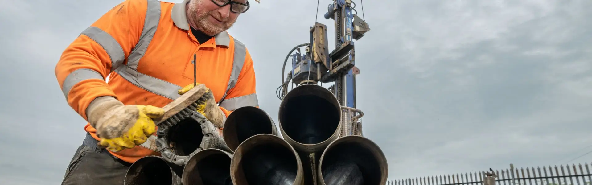
Igne delivered a 134-metre deep groundwater monitoring borehole for the Environment Agency, replacing a defunct well and providing robust, long-term environmental data. Our team managed drilling, installation, welfare, security, and stakeholder coordination on a complex industrial-estate site.
As part of the Environment Agency’s ongoing groundwater monitoring programme, Igne was commissioned to drill and install a new deep groundwater monitoring borehole at Peterlee, County Durham.
The new installation replaced an historic but defunct monitoring well, forming part of the Agency’s network of boreholes that provide long-term groundwater quality and level data for environmental regulation, flood risk management, and resource protection.
Scope of Monitoring Works
The Environment Agency designated the location for the new borehole within a grass verge on an access road in an active industrial estate. The final position was determined collaboratively with stakeholders to avoid existing underground utilities and to maintain safe offset from the nearby Wapping Burn watercourse.
The initial specification required drilling to a depth of approximately 134 metres below ground level, with a minimum finished diameter of 110 mm to accommodate a 75 mm internal liner suitable for sampling equipment, data-loggers, and cabling.
During delivery, several client-led variations were incorporated, including:
- Increasing the initial borehole diameter to 200 mm before reducing to 125 mm for the main depth section.
- Using rotary open-hole drilling techniques with recirculated biodegradable polymer flush.
- Completing the borehole with a 100 mm internal diameter plastic liner.
Igne also acted as Principal Contractor, providing full welfare facilities and out-of-hours site security.
What Were the Ground Conditions?
The borehole was successfully advanced to 134 metres below ground level, encountering:
- 0 - 2.6 m: Clay
- 2.6 - 5.5 m: Sand and gravel
- 5.5 - 14.6 m: Laminated clay
- 14.6 - 40.4 m: Boulder clay
- 40.4 - 134.0 m: Magnesian Limestone (base of borehole)
The drilling and installation works were completed efficiently and to specification, with all objectives met to the satisfaction of the Environment Agency. The new borehole now provides a robust and reliable long-term groundwater monitoring point, contributing valuable data for environmental management in the region.
Deep, technically precise groundwater installations like this one are vital for environmental resilience and regulatory insight.
Igne combines geotechnical expertise with environmental responsibility to deliver dependable data for clients such as the Environment Agency.
If you require accurate, compliant groundwater monitoring or borehole installation on sensitive or complex sites, talk to us - we are here to help you.
Other articles of interest
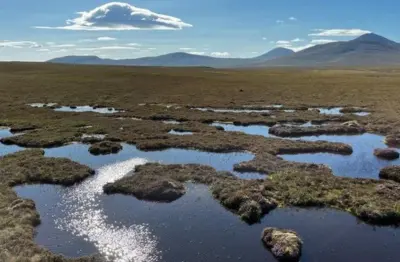
Strathy South Wind Farm
Igne recently undertook an extensive site investigation project on behalf of SSE Renewables for the Strathy South Wind Farm. This contract spanned 15 weeks and took place in an incredibly environmentally sensitive area of Scotland.
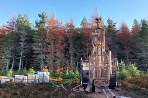
Ground investigation for a proposed substation Loch Buidhe
Igne was commissioned by SSEN Transmission to undertake the ground investigation at this proposed substation site at Loch Buidhe. The investigations were needed to provide information on the ground conditions for foundation design and construction of the proposed works and in relation to any geochemical contamination of the site.